Yellow weather warnings are in effect across both counties starting this afternoon, extending through Friday, Saturday, and Sunday. Storm Darragh is expected to bring significant disruption, with coastal areas in western England and Wales now under upgraded amber wind warnings.
Heavy rain is forecast for this afternoon (Thursday), with 20 to 30 mm expected to fall within a few hours, raising concerns about surface water flooding and travel disruption. However, the heaviest rain is likely to impact areas further north and west, including northwest England, Wales, Shropshire, Staffordshire, and Stoke-on-Trent.
A Met Office spokesperson stated: “The rain is also likely to be accompanied by gusty, possibly squally winds.” Wind warnings are more extensive and will directly affect Worcestershire, where westerly or northwesterly winds are expected to strengthen later today. Rainfall totals of 15-25 mm are likely across much of central, northern, and western England and Wales. Higher elevations in Wales, at particular risk of flooding, could see up to 50-70 mm of rain.
Gusts of 40-50 mph are anticipated inland, while exposed coastal areas could experience winds of 60-70 mph.
A yellow warning for wind and rain will remain in place for Worcestershire on Saturday, as a deep low-pressure system is forecast to move across England and Wales. Rainfall totals may again reach 15-25 mm widely, with higher ground in the north and west potentially seeing 50-70 mm. Inland gusts may reach 40-50 mph, with exposed coasts experiencing 60-70 mph winds, and some locations possibly hitting 80 mph. Disruptive weather conditions are expected, including challenging travel conditions.
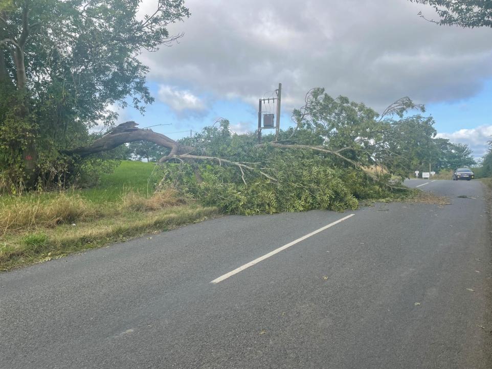
The storm may cause damage to buildings, such as roof tiles being blown off, and falling trees could lead to road and bridge closures. Power outages are possible, potentially affecting other services like mobile phone coverage.
There is a small risk of injuries or danger to life from flying debris. Travel disruptions, including longer journey times or cancellations across road, rail, air, and ferry networks, are also likely.
